Environmental, ecological sciences & sustainability
We develop methods for real-world global applications for environmental and sustainable applications with a number of high profile collaborators.

Staff
Postgraduate research students
Refine By
-
{{student.surname}} {{student.forename}}
{{student.surname}} {{student.forename}}
({{student.subject}})
{{student.title}}
Environmental, Ecological Sciences and Sustainability - Example Research Projects
Information about postgraduate research opportunities and how to apply can be found on the Postgraduate Research Study page. Below is a selection of projects that could be undertaken with our group.
There is also the possibility of applying to The Leverhulme Programme for Doctoral Training in Ecological Data Science which is hosted in our school. Information on how to apply can be found on the programme's application page.
New methods for analysis of migratory navigation (PhD)
Supervisors: Janine Illian, Urška Demšar (University of St Andrews)
Relevant research groups: Modelling in Space and Time, Bayesian Modelling and Inference, Computational Statistics, Environmental, Ecological Sciences and Sustainability
Migratory birds travel annually across vast expanses of oceans and continents to reach their destination with incredible accuracy. How they are able to do this using only locally available cues is still not fully understood. Migratory navigation consists of two processes: birds either identify the direction in which to fly (compass orientation) or the location where they are at a specific moment in time (geographic positioning). One of the possible ways they do this is to use information from the Earth’s magnetic field in the so-called geomagnetic navigation (Mouritsen, 2018). While there is substantial evidence (both physiological and behavioural) that they do sense magnetic field (Deutschlander and Beason, 2014), we however still do not know exactly which of the components of the field they use for orientation or positioning. We also do not understand how rapid changes in the field affect movement behaviour.
There is a possibility that birds can sense these rapid large changes and that this may affect their navigational process. To study this, we need to link accurate data on Earth’s magnetic field with animal tracking data. This has only become possible very recently through new spatial data science advances: we developed the MagGeo tool, which links contemporaneous geomagnetic data from Swarm satellites of the European Space Agency with animal tracking data (Benitez Paez et al., 2021).
Linking geomagnetic data to animal tracking data however creates a highly-dimensional data set, which is difficult to explore. Typical analyses of contextual environmental information in ecology include representing contextual variables as co-variates in relatively simple statistical models (Brum Bastos et al., 2021), but this is not sufficient for studying detailed navigational behaviour. This project will analyse complex spatio-temporal data using computationally efficient statistical model fitting approches in a Bayesian context.
This project is fully based on open data to support reproducibility and open science. We will test our new methods by annotating publicly available bird tracking data (e.g. from repositories such as Movebank.org), using the open MagGeo tool and implementing our new methods as Free and Open Source Software (R/Python).
Integrated spatio-temporal modelling for environmental data (PhD)
Supervisors: Janine Illian, Peter Henrys (UKCEH)
Relevant research groups: Modelling in Space and Time, Bayesian Modelling and Inference, Computational Statistics, Environmental, Ecological Sciences and Sustainability
The last decade has seen a proliferation of environmental data with vast quantities of information available from various sources. This has been due to a number of different factors including: the advent of sensor technologies; the provision of remotely sensed data from both drones and satellites; and the explosion in citizen science initiatives. These data represent a step change in the resolution of available data across space and time - sensors can be streaming data at a resolution of seconds whereas citizen science observations can be in the hundreds of thousands.
Over the same period, the resources available for traditional field surveys have decreased dramatically whilst logistical issues (such as access to sites, ) have increased. This has severely impacted the ability for field survey campaigns to collect data at high spatial and temporal resolutions. It is exactly this sort of information that is required to fit models that can quantify and predict the spread of invasive species, for example.
Whilst we have seen an explosion of data across various sources, there is no single source that provides both the spatial and temporal intensity that may be required when fitting complex spatio-temporal models (cf invasive species example) - each has its own advantages and benefits in terms of information content. There is therefore potentially huge benefit in beginning together data from these different sources within a consistent framework to exploit the benefits each offers and to understand processes at unprecedented resolutions/scales that would be impossible to monitor.
Current approaches to combining data in this way are typically very bespoke and involve complex model structures that are not reusable outside of the particular application area. What is needed is an overarching generic methodological framework and associated software solutions to implement such analyses. Not only would such a framework provide the methodological basis to enable researchers to benefit from this big data revolution, but also the capability to change such analyses from being stand alone research projects in their own right, to more operational, standard analytical routines.
FInally, such dynamic, integrated analyses could feedback into data collection initiatives to ensure optimal allocation of effort for traditional surveys or optimal power management for sensor networks. The major step change being that this optimal allocation of effort is conditional on other data that is available. So, for example, given the coverage and intensity of the citizen science data, where should we optimally send our paid surveyors? The idea is that information is collected at times and locations that provide the greatest benefit in understanding the underpinning stochastic processes. These two major issues - integrated analyses and adaptive sampling - ensure that environmental monitoring is fit for purpose and scientists, policy and industry can benefit from the big data revolution.
This project will develop an integrated statistical modelling strategy that provides a single modelling framework for enabling quantification of ecosystem goods and services while accounting for the fundamental differences in different data streams. Data collected at different spatial resolutions can be used within the same model through projecting it into continuous space and projecting it back into the landscape level of interest. As a result, decisions can be made at the relevant spatial scale and uncertainty is propagated through, facilitating appropriate decision making.
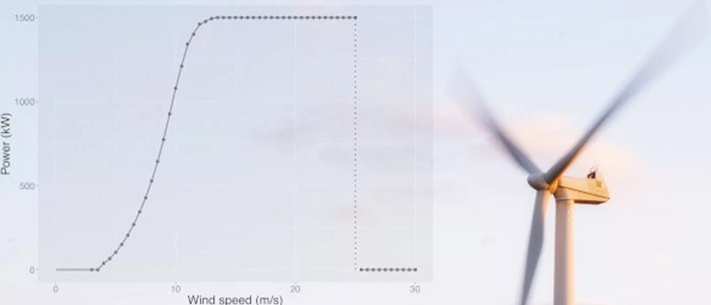
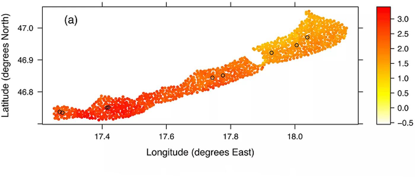
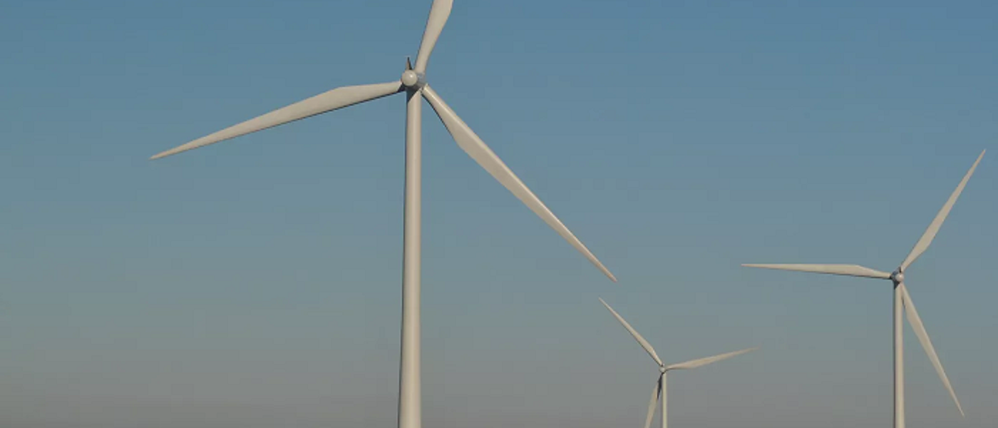
Statistical methodology for assessing the impacts of offshore renewable developments on marine wildlife (PhD)
Supervisors: Janine Illian, Esther Jones (BIOSS), Adam Butler (BIOSS)
Relevant research groups: Modelling in Space and Time, Bayesian Modelling and Inference, Computational Statistics, Environmental, Ecological Sciences and Sustainability
Assessing the impacts of offshore renewable developments on marine wildlife is a critical component of the consenting process. A NERC-funded project, ECOWINGS, will provide a step-change in analysing predator-prey dynamics in the marine environment, collecting data across trophic levels against a backdrop of developing wind farms and climate change. Aerial survey and GPS data from multiple species of seabirds will be collected contemporaneously alongside prey data available over the whole water column from an automated surface vehicle and underwater drone.
These methods of data collection will generate 3D space and time profiles of predators and prey, creating a rich source of information and enormous potential for modelling and interrogation. The data present a unique opportunity for experimental design across a dynamic and changing marine ecosystem, which is heavily influenced by local and global anthropogenic activities. However, these data have complex intrinsic spatio-temporal properties, which are challenging to analyse. Significant statistical methods development could be achieved using this system as a case study, contributing to the scientific knowledge base not only in offshore renewables but more generally in the many circumstances where patchy ecological spatio-temporal data are available.
This PhD project will develop spatio-temporal modelling methodology that will allow user to anaylse these exciting - and complex - data sets and help inform our knowledge on the impact of off-shore renewable on wildlife.
Seminars
Regular seminars relevant to the group are held as part of the Statistics seminar series. The seminars cover various aspects across the AI3 initiative and usually span multiple groups. You can find more information on the Statistics seminar series page, where you can also subscribe to the seminar series calendar.
The environmental, ecological sciences and sustainability group develops statistical and data analytic methodology to enable the study of real-world global challenges across this diverse area. The related data streams continue to increase in volume and complexity and methodological developments include fusing mis-aligned data streams, up-downscaling data of differing spatial aggregation, computationally efficient inference, automatic pattern recognition and detection, species distribution modelling, urban data analytics, deep learning pipelines to interrogate social media data, modelling citizen science data, accounting for complex observations processes.
The group has overlapping research with the Modelling in Space and Time group and is one of the largest groups in the school. Applications include, but are not limited to: water quality, air pollution, species distribution and conservation, biodiversity, wind speed, sustainable solutions for cities, and group members work with external collaborators across industry, public and third-sector organisations, as well as sitting on scientific advisory committees such as the UK Government committee on the medical effects of air pollutants.