


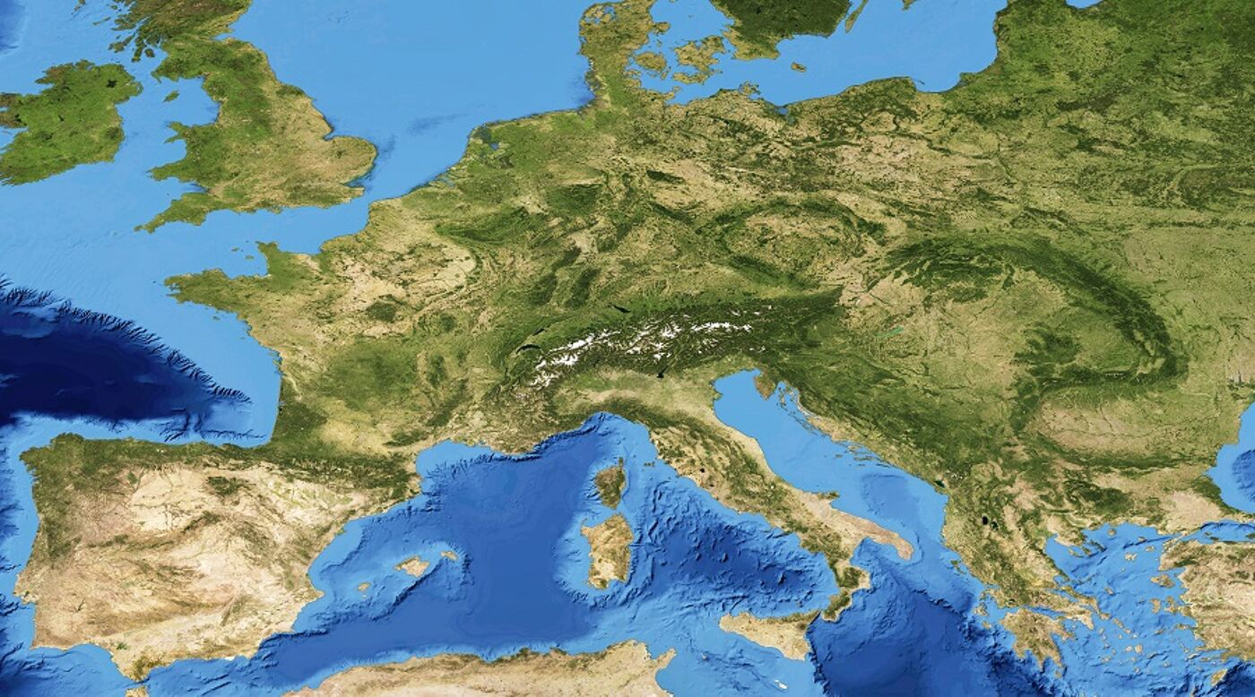
Study geomatics
Develop expertise in the growing field of geomatics by studying one of our postgraduate taught programmes which cover surveying, cartography, geospatial data management and Geographic Information Systems (GIS).
Open up global career opportunities with specialist skills and expertise to support major engineering projects across a variety of industries or tackle complex environmental problems. Be part of the solution.
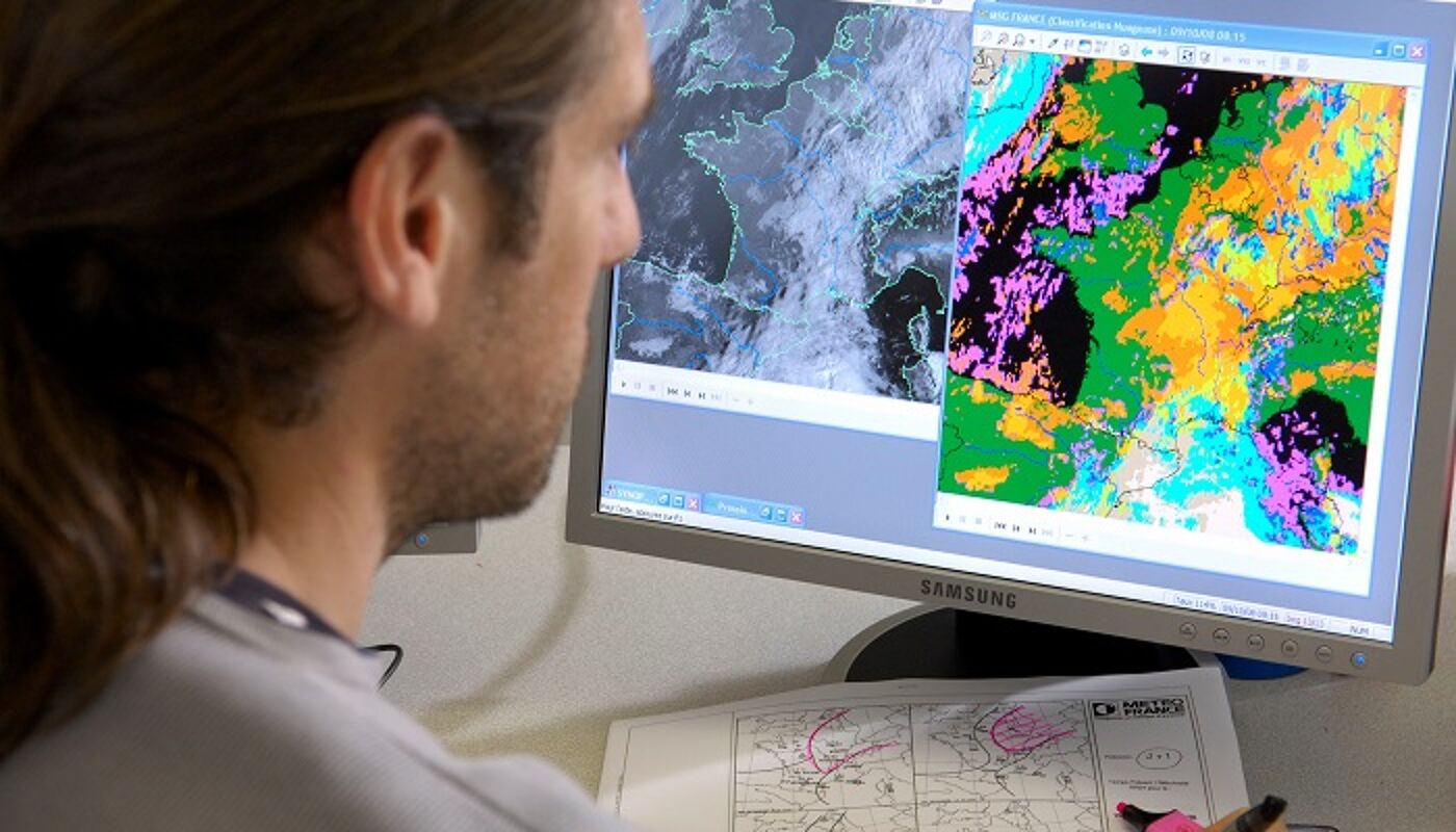
Computational Geoscience MSc
Advance your career by developing applied data science and modelling skills which you can use to address complex real-world challenges and support decision-making in geoscience fields. Through this programme you will become skilled in computer programming, predictive modelling and big data analysis.
Geomatics & Management MSc
Fast-track your career in the field of geomatics by developing the knowledge, skills and techniques you need to succeed in managerial positions. You will be taught by staff from both the School of Geographical and Earth Sciences and the Adam Smith Business School. This programme is industry-focused and accredited by the Royal Institution of Chartered Surveyors (RICS) and by EQUIS.

Geospatial & Mapping Sciences MSc/PgDip/PgCert
Learn about geospatial data collection and management by exploring the latest developments in the field of geomatics. Get hands-on experience of using state-of-the-art surveying equipment and software. This programme is accredited by both the Royal Institution of Chartered Surveyors (RICS) and the Chartered Institution of Civil Engineering Surveyors (CICES). To meet the demand for surveyors, key employers visit us each year to recruit our students.
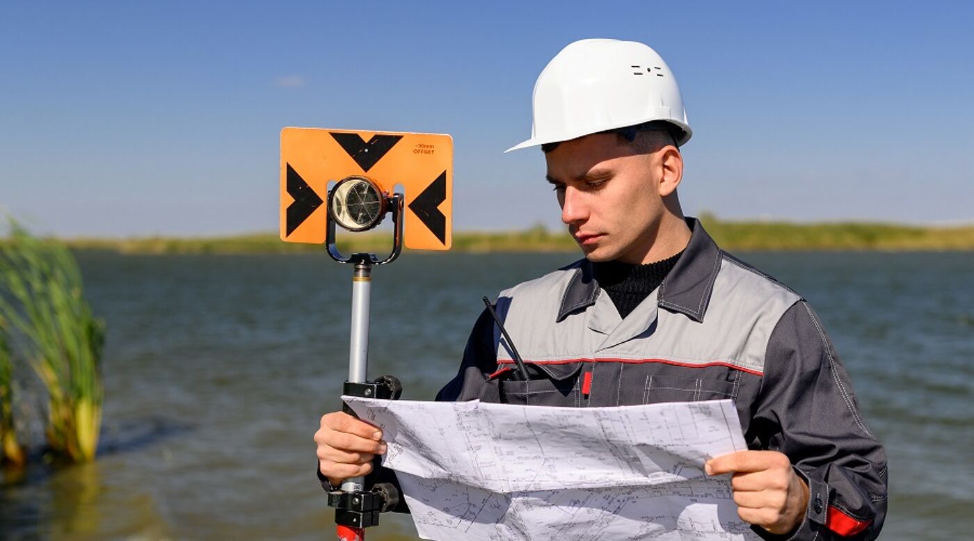
Land & Hydrographic Surveying MSc/PgDip/PgCert
Learn about land, engineering and hydrographic surveying using the cutting-edge surveying equipment and software. This programme is accredited by the Royal Institute of Chartered Surveyors (RICS) and the Chartered Institution of Civil Engineering Surveyors (CICES). If you are keen to work in the geospatial industry to support construction and mapping projects then this programme is for you.
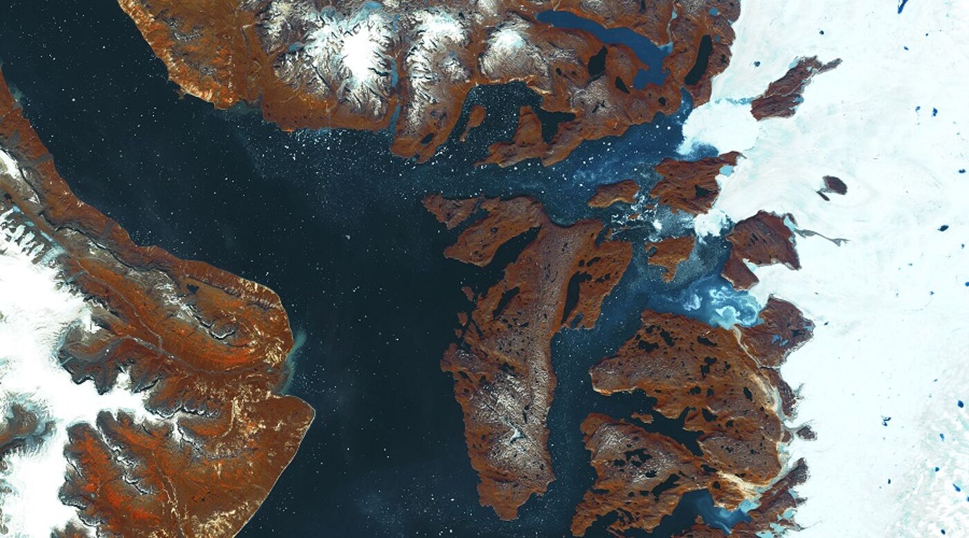
Geoinformation Technology & Cartography MSc/PgDip/PgCert
Develop an in-depth understanding of locational data and the skills required to use Geographic Information Systems (GIS) together with visualisation and map production in a GIS environment. This programme has a unique focus on underpinning geomatics aspects and cartographic output and is the only programme in the UK to have a significant emphasis on cartography.
