A novel artificial intelligence approach for flood hazard mapping

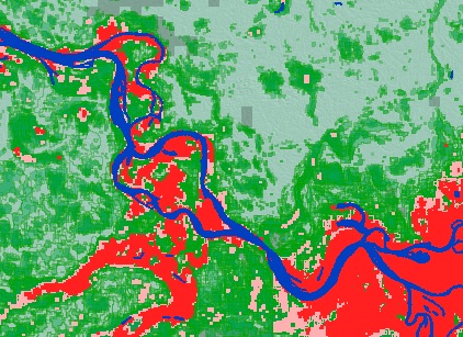
Project Summary: Flooding is the world’s most hazardous natural peril and each year floods cause huge losses to life and property. From 1995 to 2015, 2.3 billion people were affected by flooding disasters. Hence, it is important to manage floods and mitigate their impact through a range of measures, including flood hazard mapping. Video remote sensing (VRS) is one of the leading research directions in the development of novel technologies for flood hazard mapping. Although VRS has high temporal resolution, the spatial and spectral resolutions are still limited due to the lack of capacity in simultaneously employing the complementary temporal, spatial and spectral information. How to enhance the spatial and spectral resolutions is a key problem in mining the potential applications of VRS images. This project will therefore develop a novel artificial intelligence approach to further enhance the spatial and spectral resolutions of VRS images for flood hazard mapping by exploring big data machine leaning and optimization techniques. The success of this studentship project will support increased preparedness and resilience to future floods and hence contribute to societal well-being, environmental sustainability, and economic growth.
Project Team: The PhD researcher will work under the lead supervision of Dr John Xiaogang Shi (expert in hydrometeorological hazards) in the water and climate research group from the School of Interdisciplinary Studies at the University of Glasgow, with direction from further members of the project team: Dr Richard Williams (expert in geomatics and fluvial geomorphology) from the School of Geographical & Earth Sciences at the University of Glasgow and Dr Qiangqiang Yuan (expert in artificial intelligence and remote sensing) from the School of Geodesy and Geomatics at Wuhan University.

