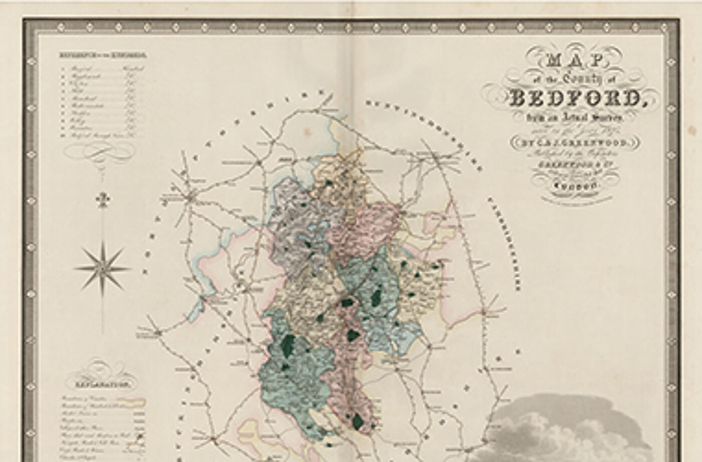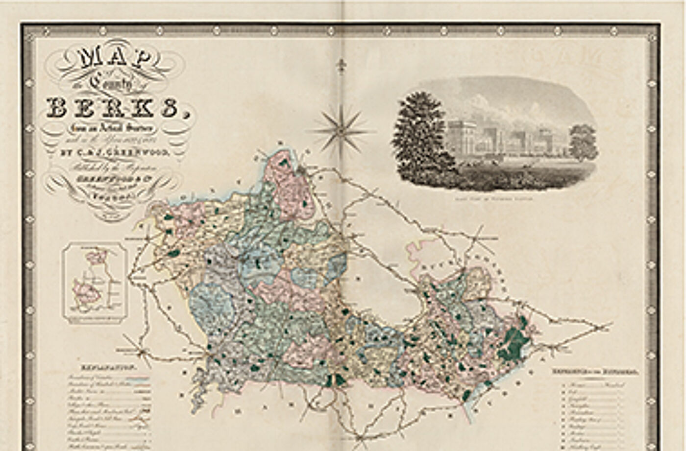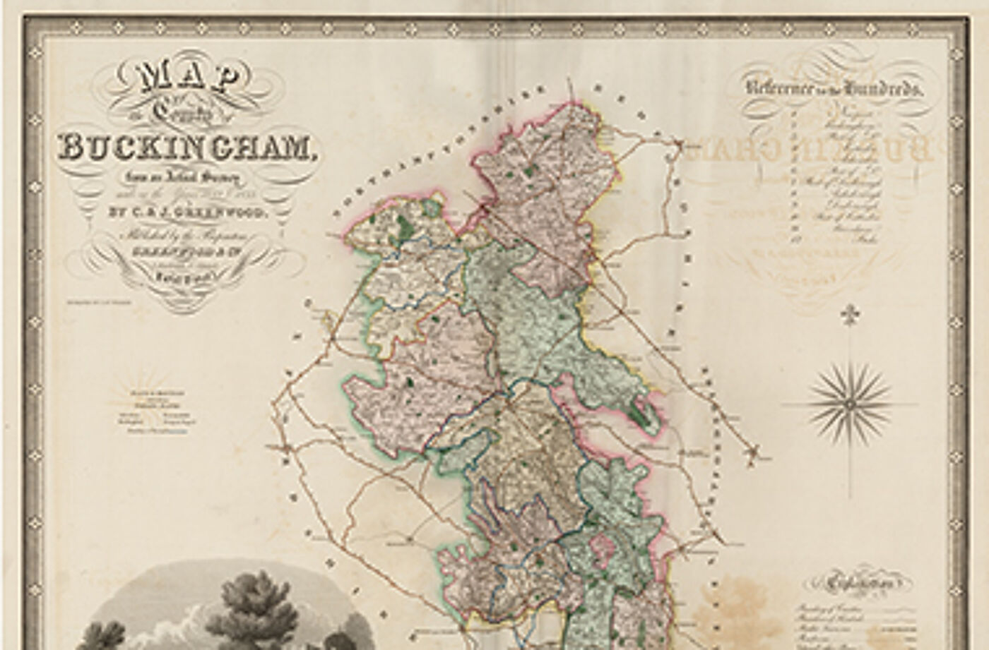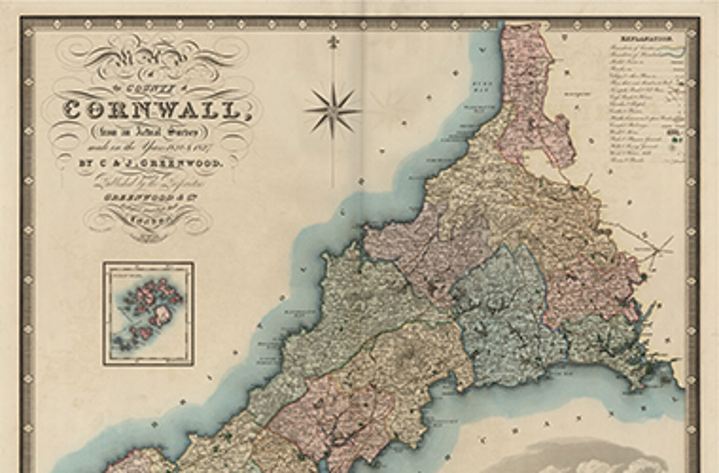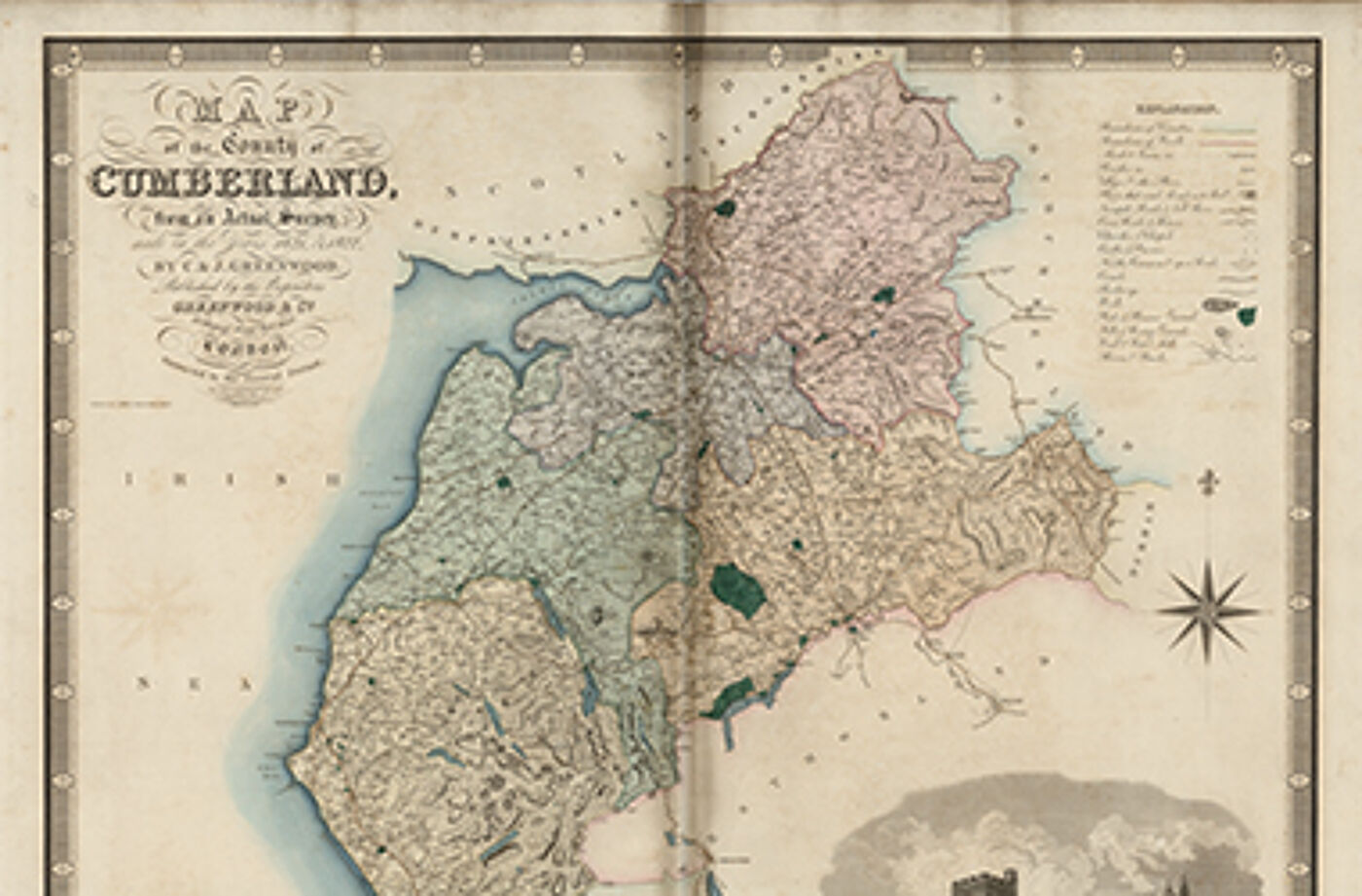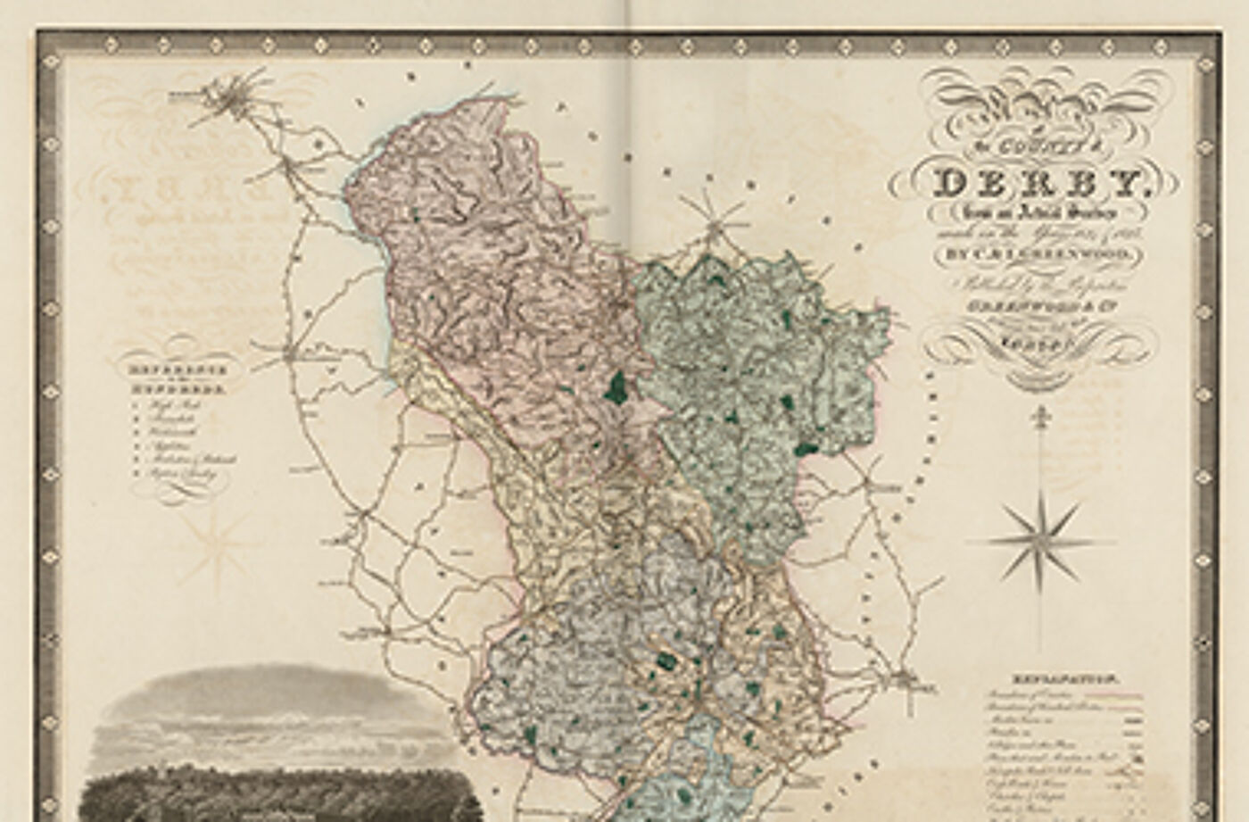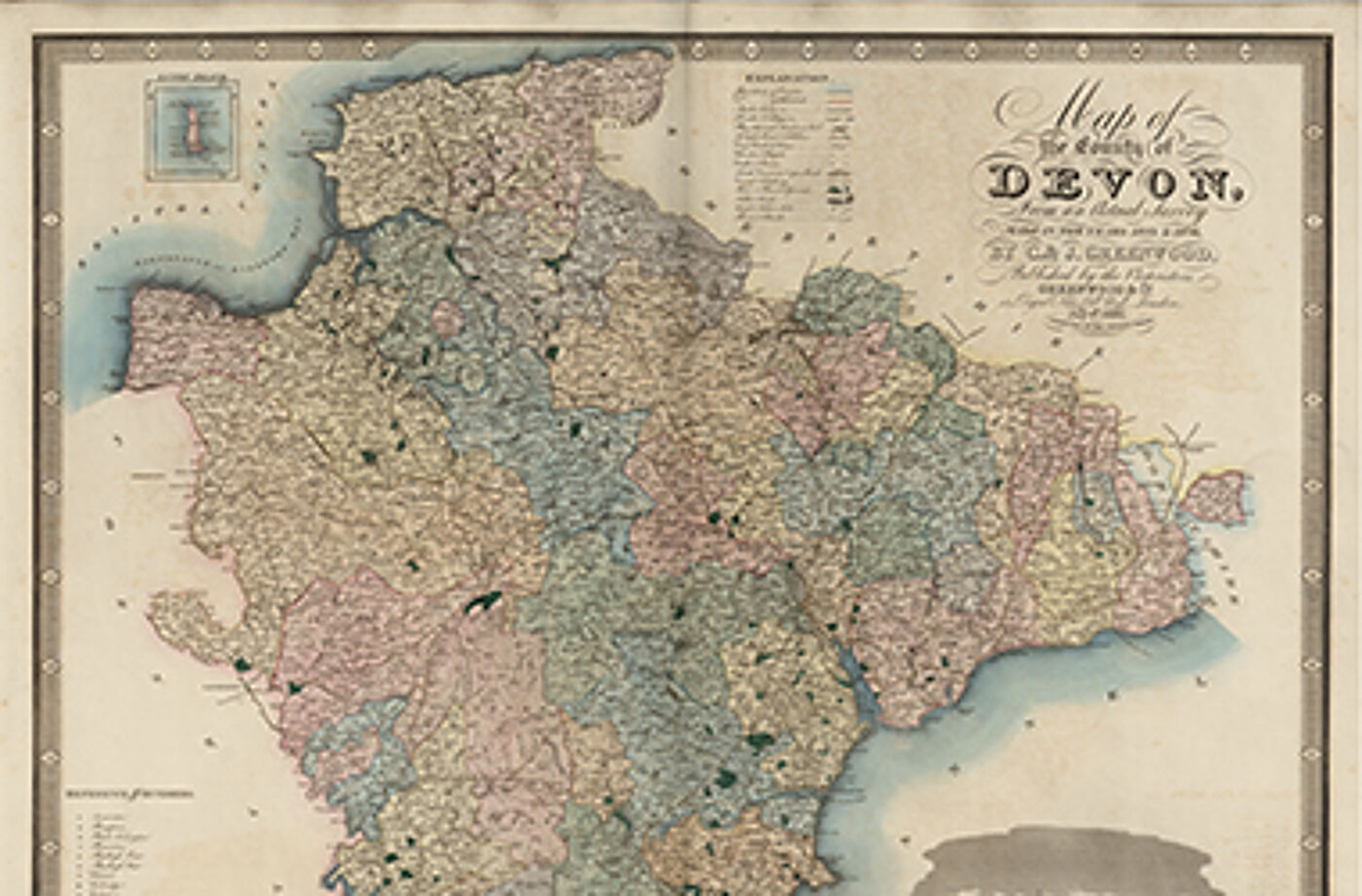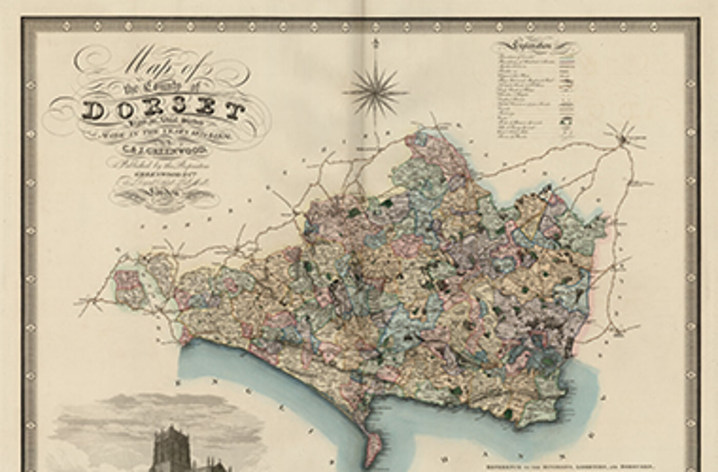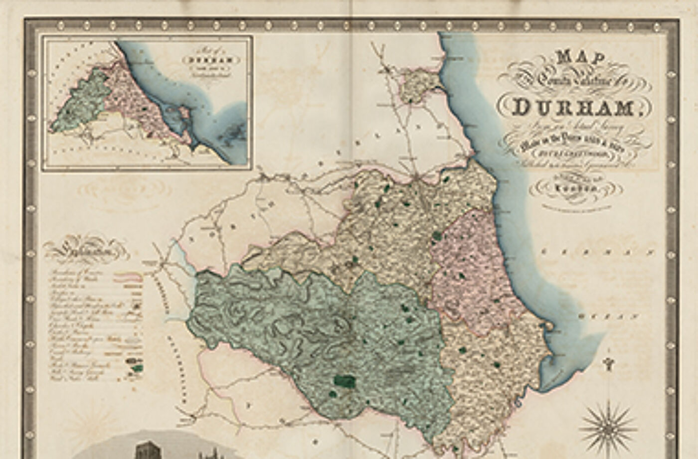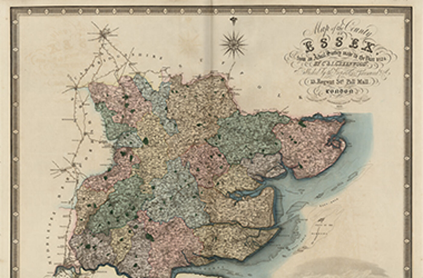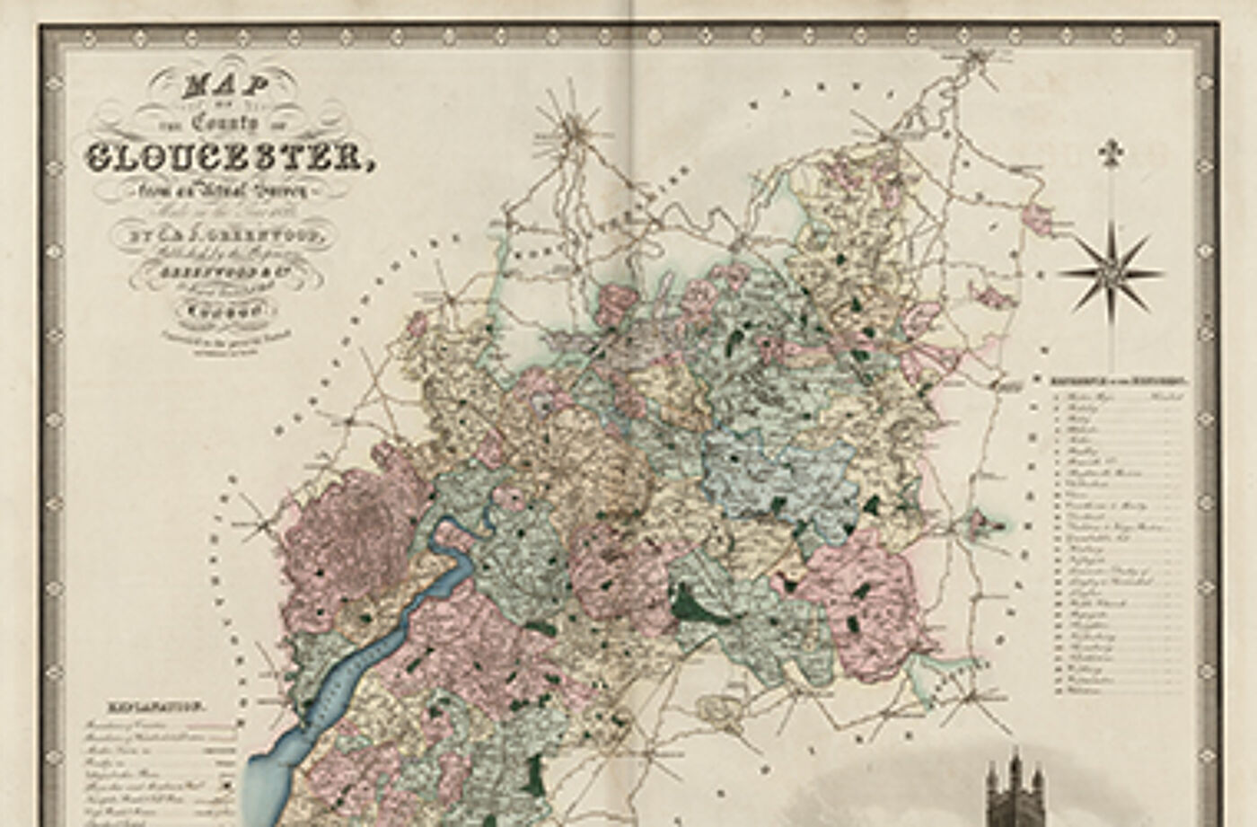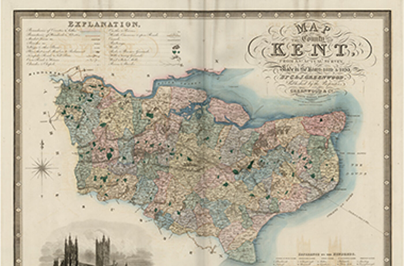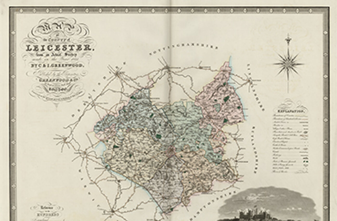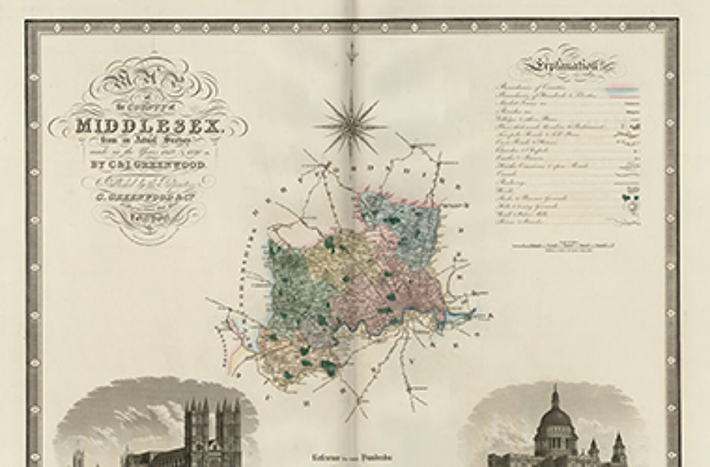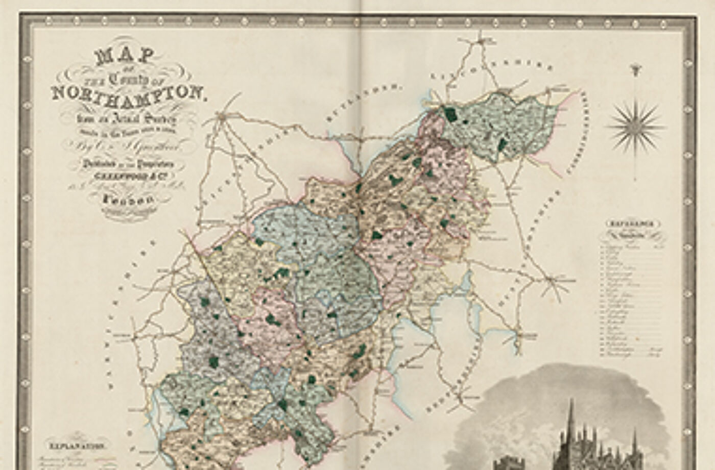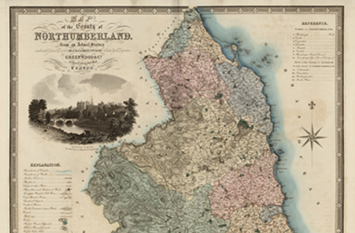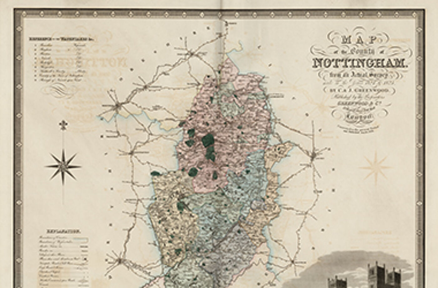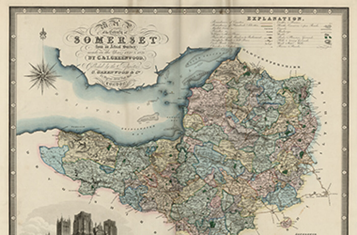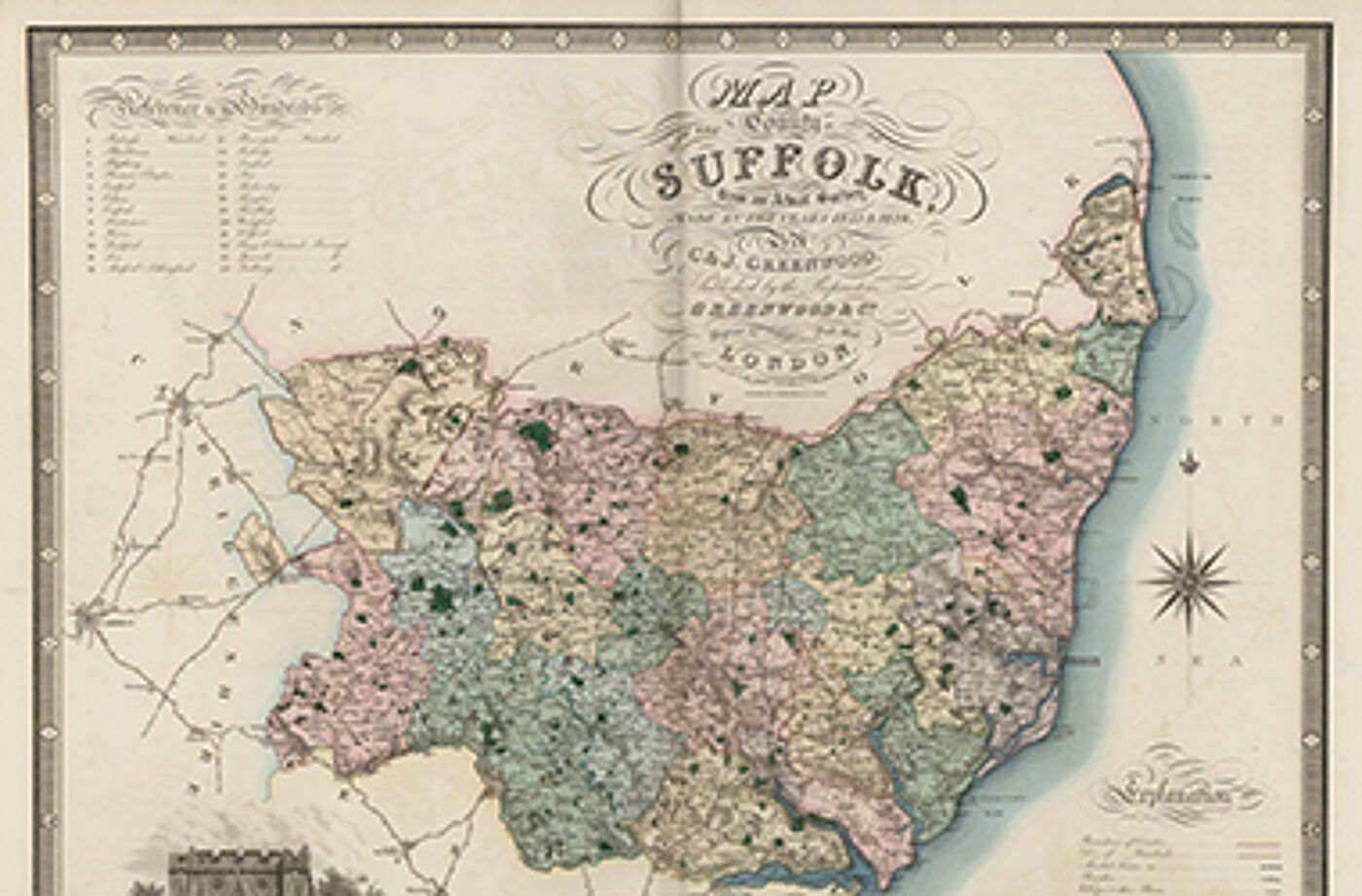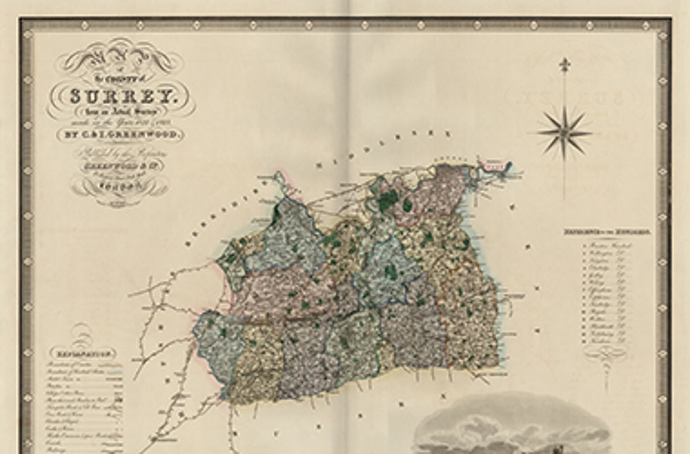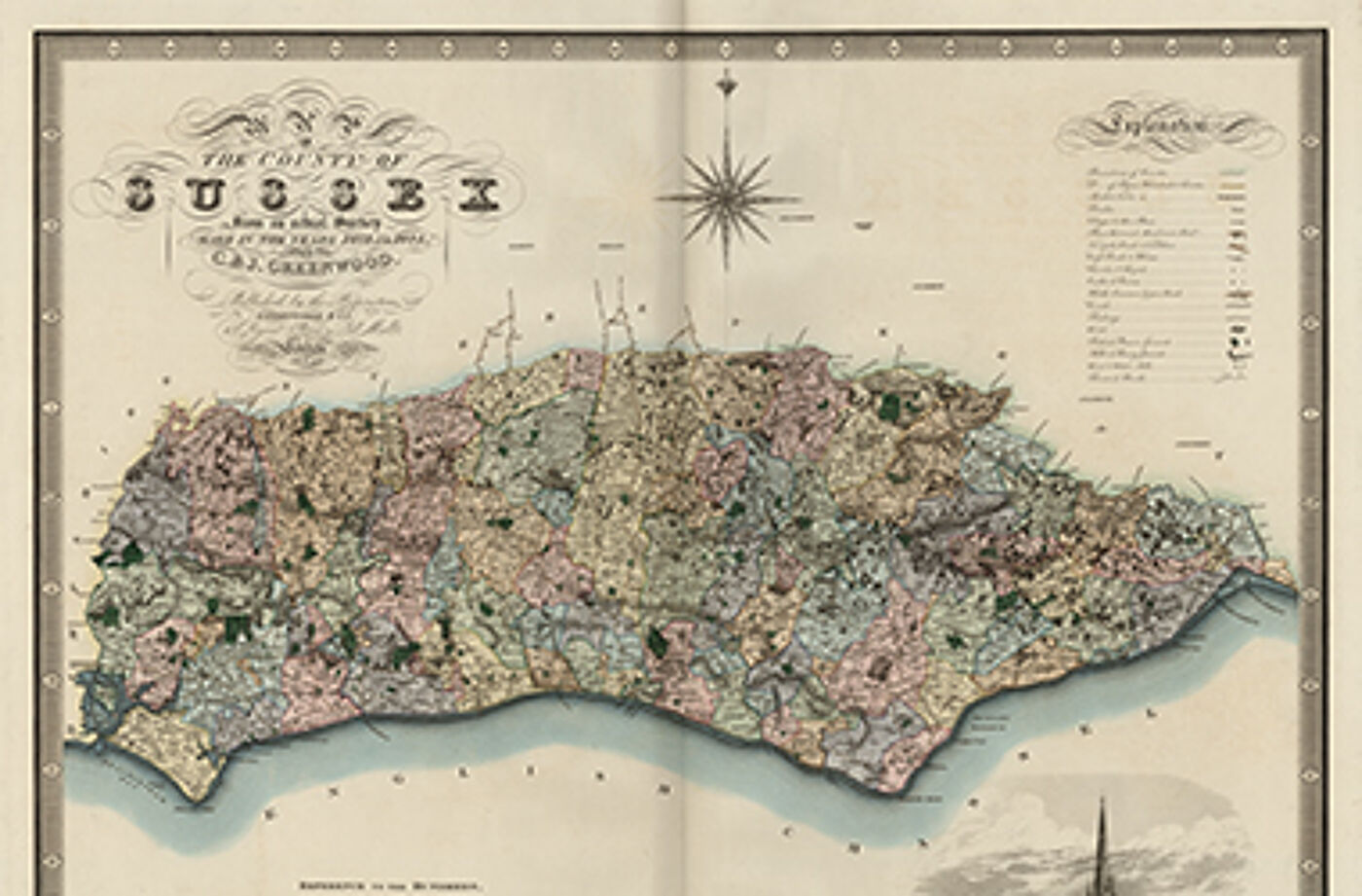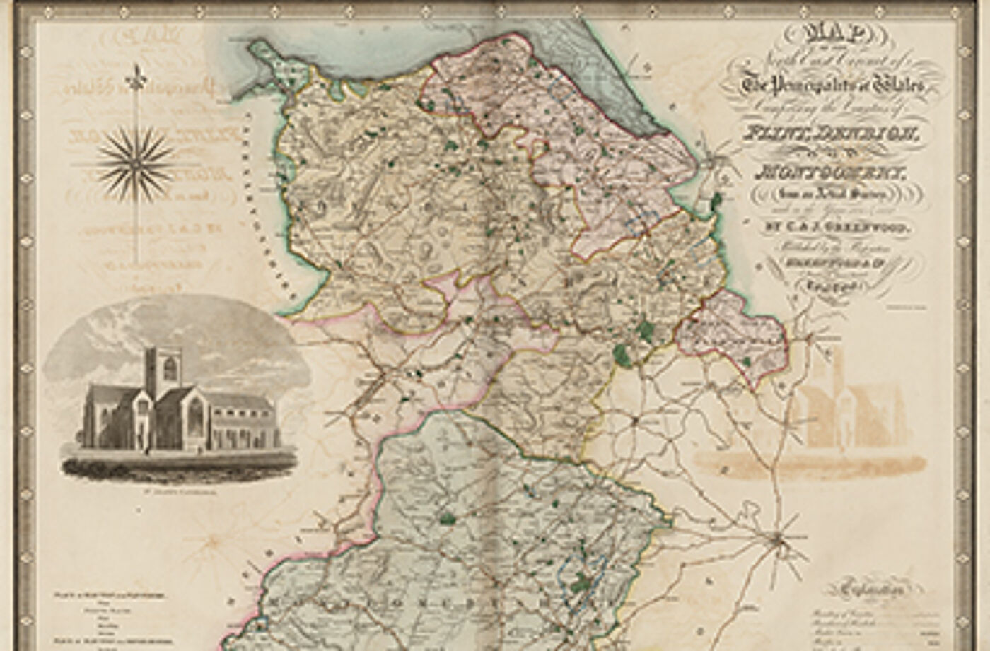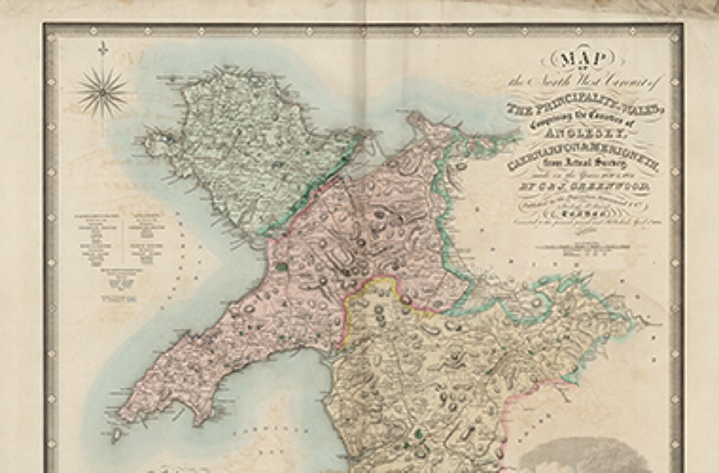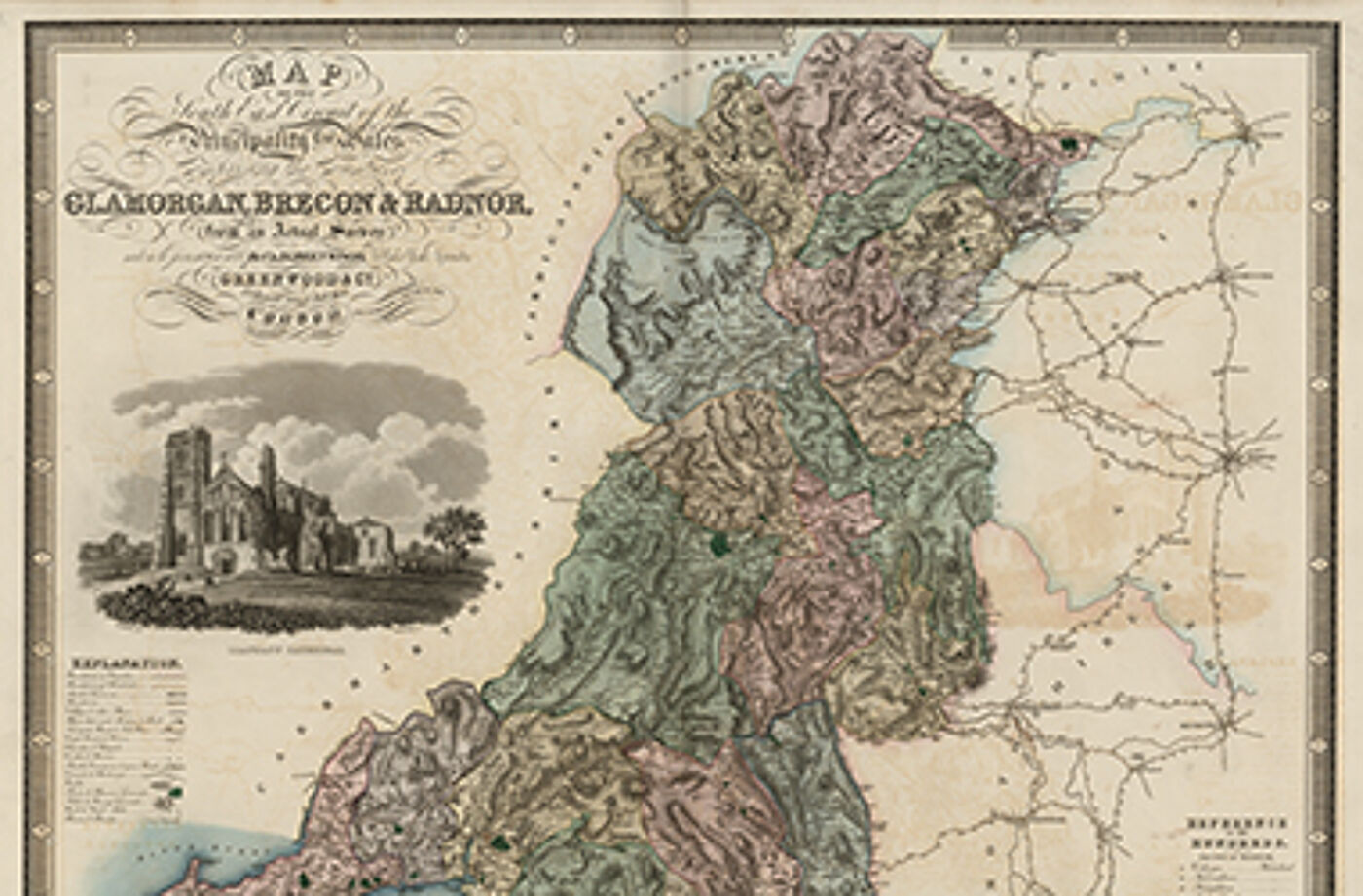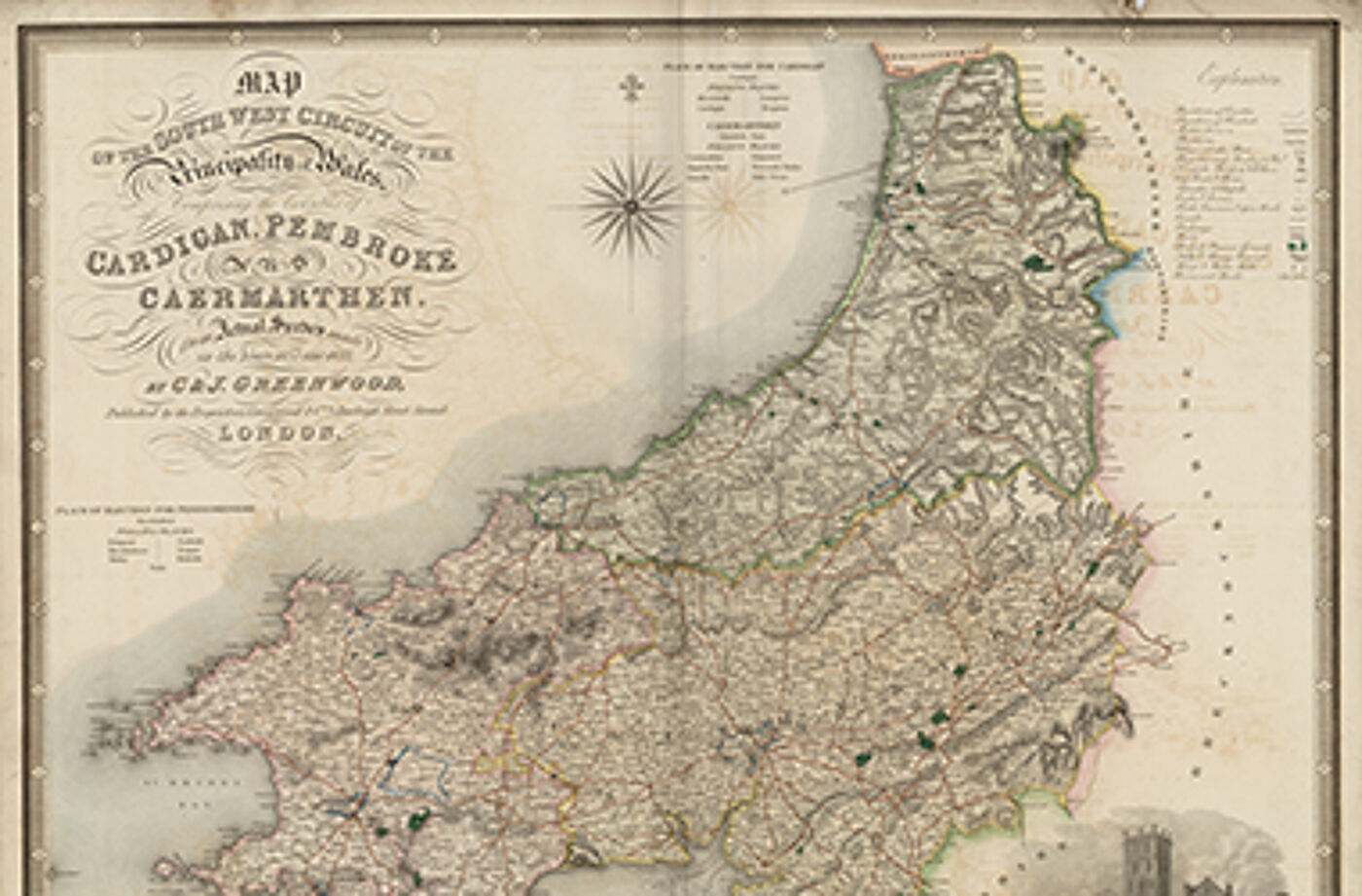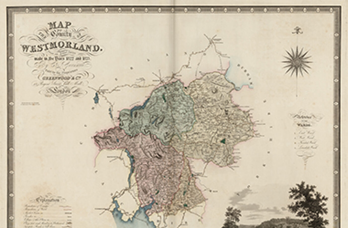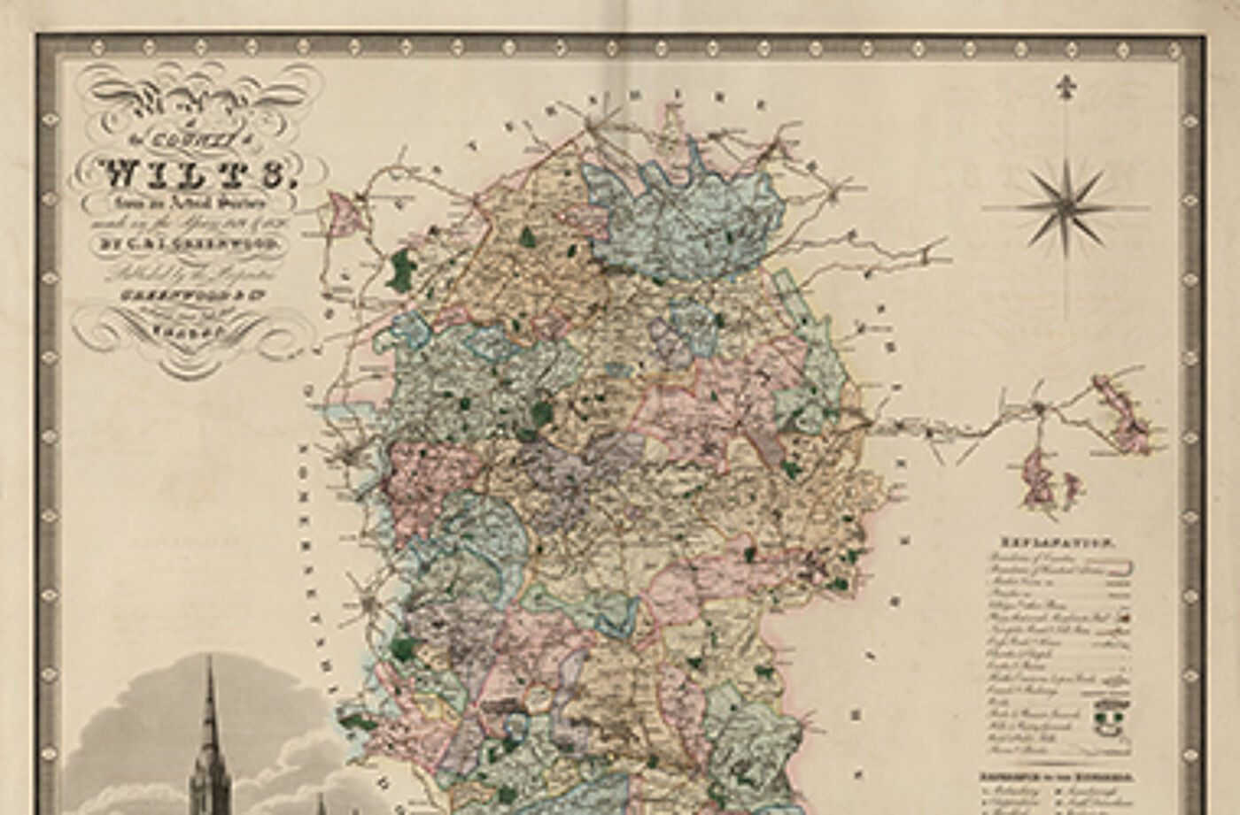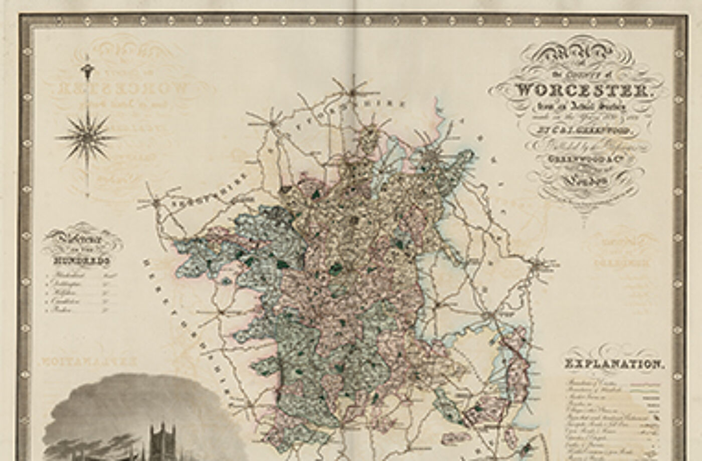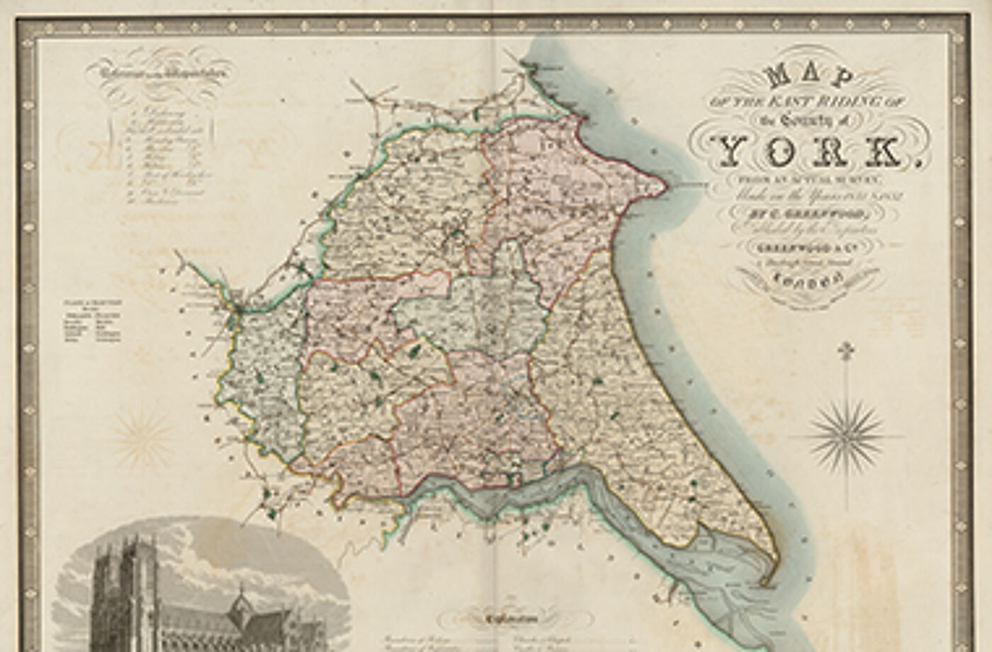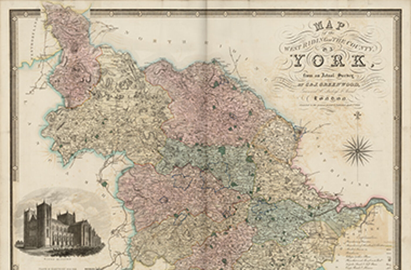
Atlas of the counties of England : from actual surveys made from the years 1817 to 1833
C & J Greenwoods Atlas of the Counties of England & Wales is a landmark map series created before the first full Ordnance Survey mapping of the countries. The scale of the undertaking led to the sheets being published over 17 years between 1817 and 1833.